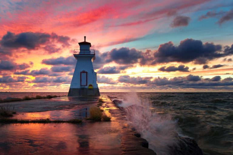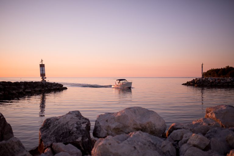


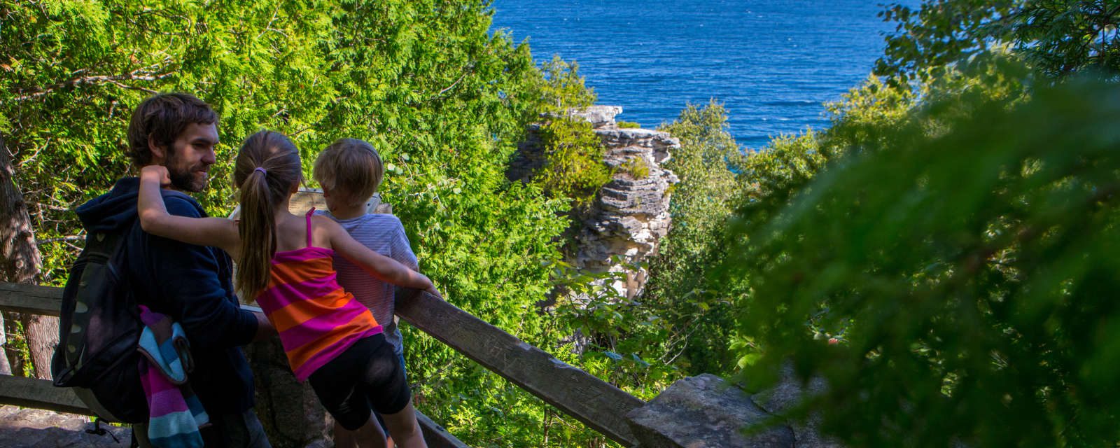
What’s a flowerpot? Find out when you hike to the Devil’s Monument – the largest of the Bruce Peninsula’s flowerpot formations and one of the many spectacular places along the craggy shoreline known for incredible views. Park at the Bruce Trail lot near the end or Borchardt Road.
The walk to the Devil’s Monument is actually quite short, but the access trail is steep, rocky and slippery. The hiking is not too difficult, but it’s not a good place to take young children or dogs. Bring sturdy footwear, a walking stick and watch out for poison ivy – easy to avoid if you know what it looks like.
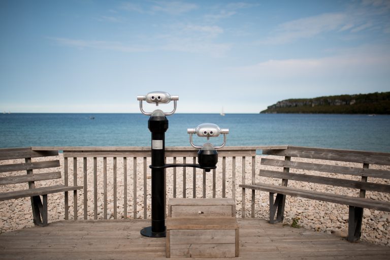
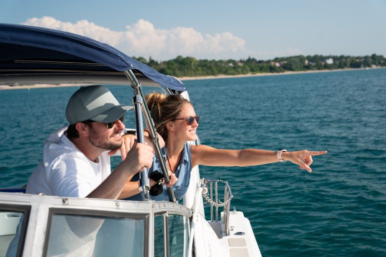
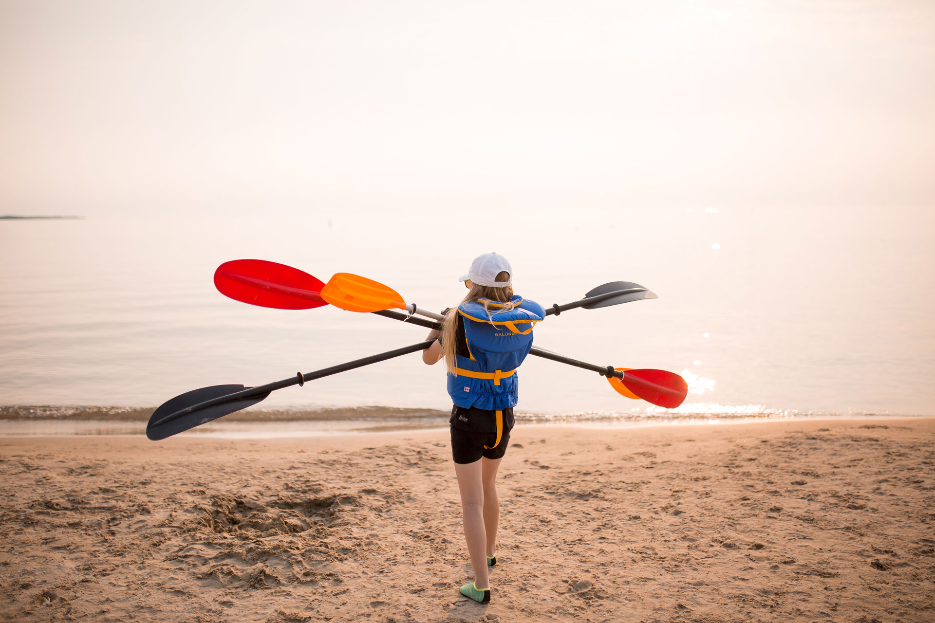
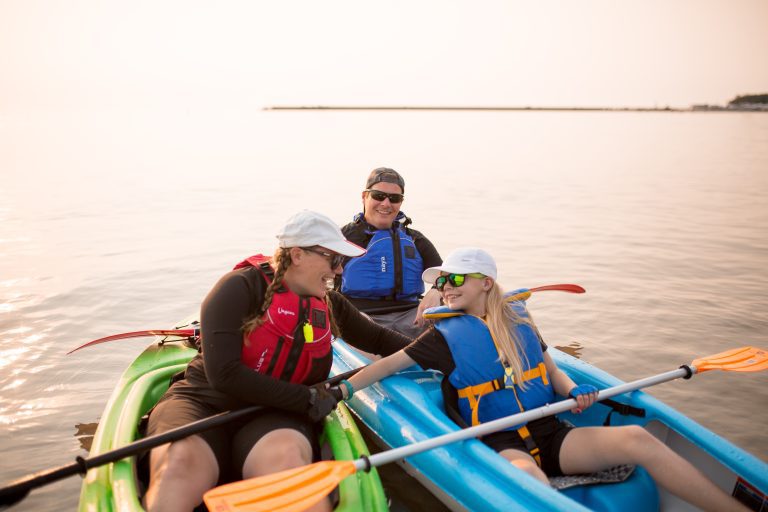
Take the trail and stairs down to the gorgeous rocky beach. You may want to bring a picnic, bathing suit and swim shoes if it’s a hot day and the clear water beckons. The shallow bay water warms up in summer. At just under an hour, the Minhinnick Side Trail will take you around and back to your car.

Now available for download, the Trails Map is the perfect companion piece when you’re planning your hike. You can also order printed visitor, paddling and trails maps for free!
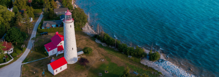
Dyer's Bay ON Canada